A Walk in the Woods
As I’ve previously mentioned, I work in the woods some distance away from the field station where I live. The only way to get to the Big Grid is on foot, along a rocky trail crisscrossed with dozens of small streambeds and a few flowing waterways. After leaving the station (by walking across a small stream that isn’t much more than a trickle except after rain), it is a short walk to the turn-off for the trail to the Big Grid. If you stay on the main trail, you end up at a swimming hole down on the Quebrada Sonadora.
Immediately after this turn, the ascent begins. Rocks, roots, and even some ancient-looking cinder blocks provide footholds up the relatively shallow slope that seems to never end. I usually just look down at the ground and tell myself that I need to save my energy for the rest of the hill, so that when I get to the top and see that I’ve made it, it’s a huge relief. This trail isn’t too bad if you are wide awake and not carrying anything, but at 8 in the morning with a full pack and some field gear, it can be a pretty grueling 3 minutes.
After reaching the top, you begin a slight decent into the valley. Hopping from dry rock to root, you make your way down around a few curves to the Quebrada Sonadora. This is the biggest river that flows across the trail.
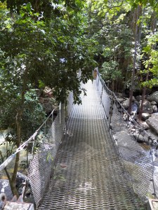
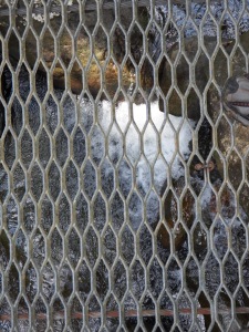
The bridge is what looks like a hastily-thrown-together suspension bridge made from old chain-link fencing strung together with wire. Suffice to say, it isn’t the most immobile bridge, and bounces nicely under one’s weight.
Fortunately, the bridge isn’t very high above the water, and you can get a good look down into the stream. Four years of crossing bridges over deep gorges to get to class has sort of diminished my hesitance to cross and casually look around.
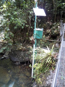
There’s even a USGS stream gauge here (makes me sentimental for my days of stream work last summer in New York).
After the bridge, it’s a short walk downhill to the start of the Big Grid. If you are lucky, you are working on a plot right near the beginning. However, you get consistently less lucky the more work you do, until you find yourself in column 16 (the trail enters the grid in 2).
After crossing a small stream at the end of row 1, there is a nice hill of wet rocks (that becomes an all-out stream during heavy rain as we found out on Friday). Climbing up this is a bit treacherous, so I usually take it slow and grab on to one of the vines hanging down.
If you are lucky enough to be near the end of a row (we finished row 2 this past week) you just stay on the trail up and up and up (the southeastern corner of the Big Grid is the highest in elevation), so you either have to cut off the trail and hike through the woods, or take the trail and then cut up a small gorge.
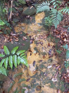
All of the beige-orange substrate in that picture is clay, which becomes very slick and will shift underfoot. It makes it challenging to get up, but I usually manage by grabbing vegetation/rocks/roots. Although sometimes you need to watch what fronds you’re grabbing.
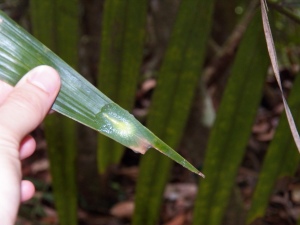
That little blob there is one of the snails I mentioned before which has its shell inside its body. They are a bizarre chartreuse color, with the soft parts essentially transparent.
Finally, after a long trek through the woods, we reach our goal.
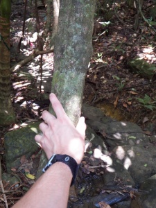
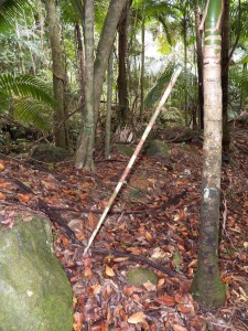
That leaning, orange and white striped pole demarcates the southwest corner of each quadrat. They all have numbered tags, so you always know where you are.
Finally, it’s time to start actually working.
